Multilingual AI audio guide exhibit on WOUDiO (PWA). WOUDiO pioneered the world’s first audio guide platform with built-in donation: listeners can support the cultural venue without leaving the listening experience. The text below is the localized description, details, and narration script for this audio guide stop.
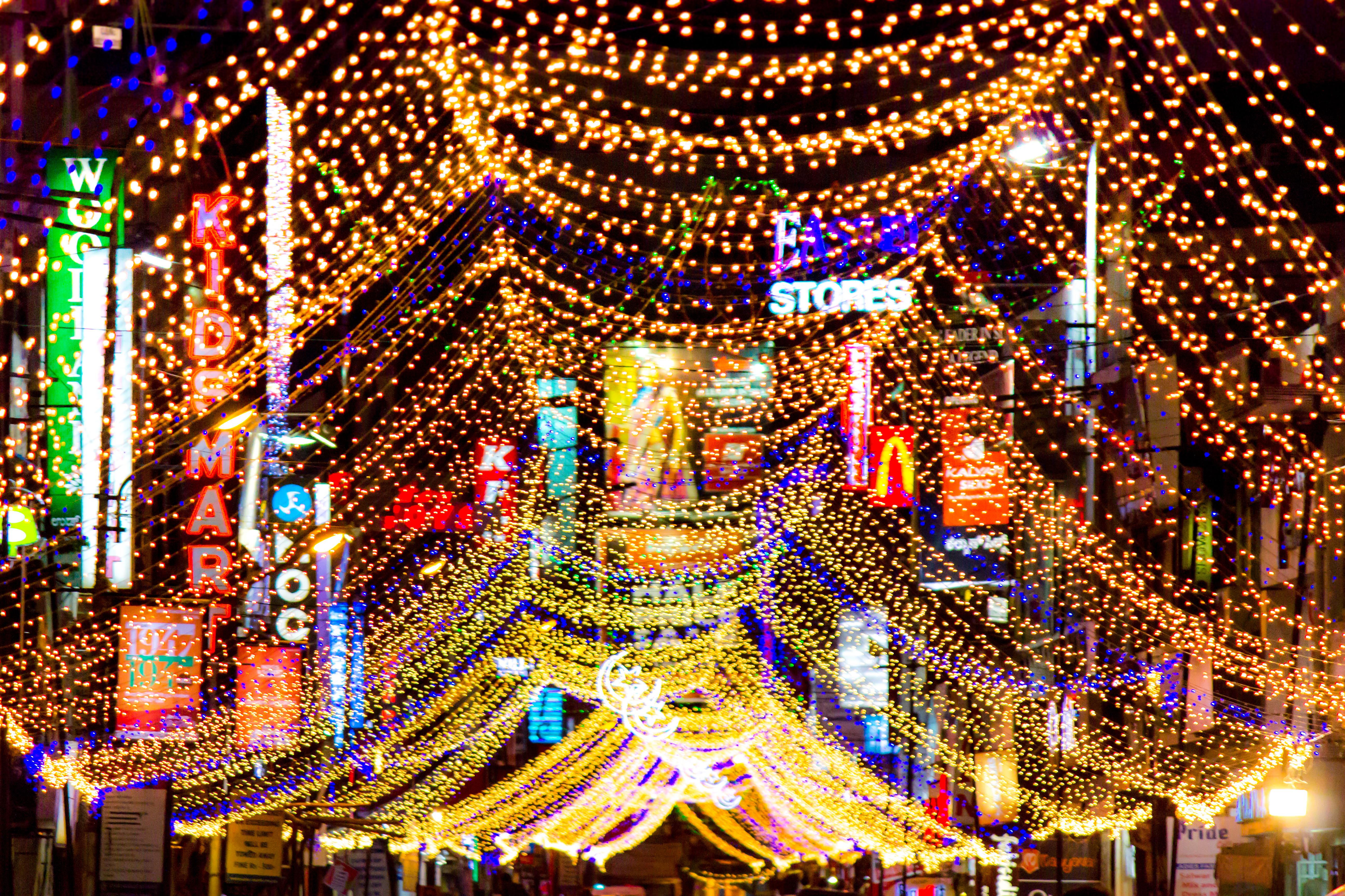
In Chickpet the air smells of new cloth. Bolts of silk climb to the ceilings of shops barely wider than a doorway, and handcarts squeeze past one another along lanes that bend and narrow without warning. Those lanes follow lines drawn almost five hundred years ago.
In 1537 the chief Kempe Gowda laid out his mud-fort town around two main streets that crossed at a square called Doddapete. Around that crossing he set out petes, market quarters, each given to a trade: cotton, grain, rice, crafts. Merchants arrived with carts of bales and sacks, and the quarters took the names of what was sold. Cottonpete still says it plainly. Chickpet today is a quarter of silk saris, home to a large Marwari trading community. Tradition even holds that the boy Shivaji spent part of his childhood in these streets while his father Shahaji held Bangalore; it is a story, not a record.
Then, a few kilometres east, a second city rose on open ground. After Tipu Sultan fell in 1799, the British went looking for a healthier home for their garrison than Srirangapatna, and in the first decade of the 1800s they chose Bangalore's cool upland air. Regiments marched in. Behind them came Tamil workers and suppliers from the North and South Arcot districts, who built, cooked, carried and traded for the camp. Parade grounds and barracks spread across the open land in long, straight lines. In Kannada it was simply the dandu, the army camp.
For well over a century these were two towns with two masters. The old pete belonged to the Mysore state. The Civil and Military Station was run directly by the British through the Madras Presidency, with its own municipality, its own rules and its own rhythm of the day. When the railway reached Bangalore in 1864, it tied the Cantonment even more tightly to Madras.
In 1947 the Station was handed back to Mysore. And in 1949 the two halves were finally joined as one Corporation of the City of Bangalore, under its first mayor.
The seam never fully closed. The western lanes still curl around their old crossing; the eastern roads still keep the straight lines of a parade. Between the two grids, people and traffic flow back and forth every day, stitching the old camp and the old market together, one crossing at a time.
Site: Chickpet and the old petes (west); MG Road and the Parade Ground, the former Cantonment (east)
Founded: pete town laid out by Kempe Gowda in 1537; British garrison moved to Bangalore in the first decade of the 1800s
Key facts: trade quarters (petes) around Doddapete square; Civil and Military Station governed separately by the British; returned to Mysore in 1947; merged into the Corporation of the City of Bangalore in 1949
Map:
Bengaluru map
Official Site:
Karnataka Tourism
Photo: Saad Faruque from Bangalore, India /
Wikimedia Commons.jpg) (CC-BY-SA-2.0)