Tourism map and disaster readiness
Everyday tourism, ready for the unexpected.
See the guide’s places on a map and go straight from a place to its guide. The same map carries hazard maps, shelters, weather and alerts.
Screens are illustrative.
A map for visiting
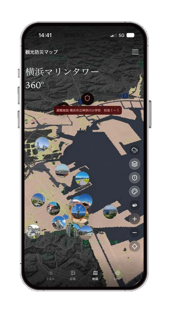
From a place to its guide
Browse places on the map and go straight to the guide for the one that catches your eye.
Offline maps
Save the map on the device for places with an unreliable connection.
A map for readiness
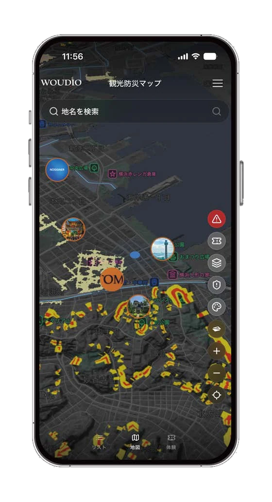
Hazard maps
Show hazard maps over the tourism map.
Shelters
Check shelters on the same map.
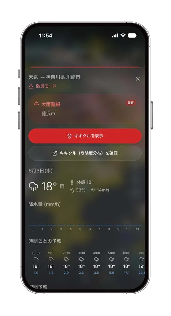
Weather and wind
See weather and wind movement on the map.
Alerts
Alert information from sources such as JMA, NOAA, GDACS and J-Alert is brought in.
How data is handled
Only data whose terms we have checked
The terms of each source are checked, and a mechanism keeps data that may not be relayed or stored out of use.
A flat monthly fee, no per-view charges
The digital tourism map is a flat monthly fee. There are no charges based on how many times it is viewed. Use the plan estimator for the price in your region.
Frequently asked questions
- Does the price rise when views rise?
- No. The map’s price does not depend on the number of views.
- Which regions are covered?
- Hazard data comes from different providers by region, so what is available varies. Ask us what is available where your venue is.
More features
- 360° viewsWalk freely through panoramas and go from a pin straight to the guide. We take shooting requests too.Read more
- TicketingDay-of-week and holiday prices, discounts, date and time-slot booking with capacity. Check people in by QR scan or by a visual check with a button.Read more
- Guide productionFrom chapter outline to manuscript, proofreading, audio and misreading checks — people and AI in one flow.Read more